Gogebic County, Michigan · live flow & angler’s guide
Brook trout water above the falls, Lake Superior steelhead and salmon below Rainbow Falls, and the Big Powderhorn Village where the Black River Scenic Byway begins. Check today’s flow, then pick your water.
THE RIVERBrook trout above the fallsSteelhead & salmon below Rainbow FallsLodging where the byway begins
Today’s conditionsChecking…Black River trout water
Loading the live river flow and forecast. If nothing appears, use the USGS and National Weather Service links below.
Main river & tributaries: last Saturday in April – Sept. 30
Below Rainbow Falls to Lake Superior: open all year
River flow
—cubic feet per second
Last 24 hours
—7-day flow
Gage height
—
USGS 04031000
Air temperature, next 24 hours
—
Chance of rain or snow
—
Where to fish today
Above Rainbow Falls the trout season runs from the last Saturday in April through September. Below Rainbow Falls the river is open all year for steelhead and salmon.
The Black River runs about 42 miles from a wetland on the Wisconsin border, through Black River Lake and Ramsay, under US-2 and north through the Ottawa National Forest to Lake Superior at Black River Harbor. The DNR manages it as three kinds of trout water, as listed in Michigan’s trout and salmon regulations and mapped on the DNR’s fishing maps.
Big Powderhorn photo
Upper river
Type 1Above US-2Brook trout
The headwaters, Black River Lake and the stretch past Ramsay: smaller, gentler water that falls about 13 feet a mile above US-2. Above Ramsay the banks are mostly private except state land around Black River Lake, so fish from public land and road crossings and respect posted property.
Big Powderhorn photo
Middle river
Type 2US-2 to Rainbow FallsBigger minimums
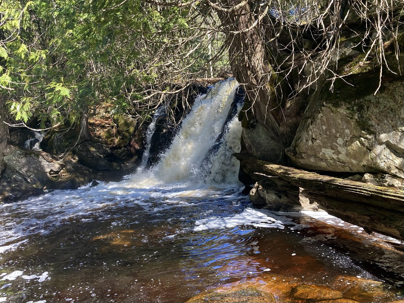
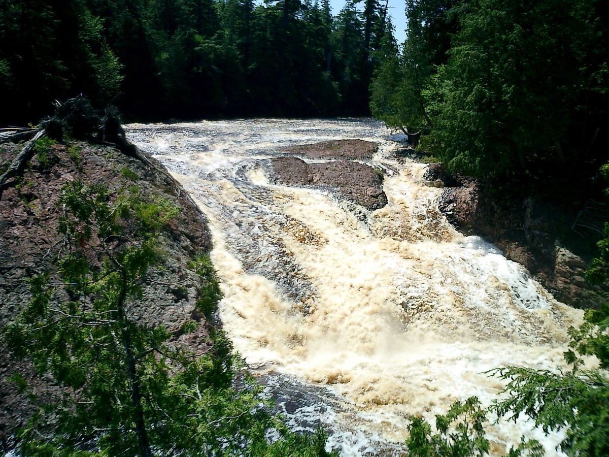
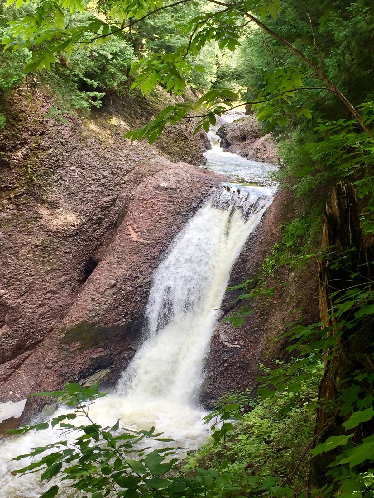
About 22 miles from US-2 north through the Ottawa National Forest. Below Chippewa Falls the river drops about 60 feet a mile through the byway’s waterfalls: Great Conglomerate, Potawatomi, Gorge and Sandstone. The lower 14 miles are a National Wild and Scenic River.
Big Powderhorn photo
Below Rainbow Falls
Type 3Open all yearSteelhead & salmon
Rainbow Falls, about 0.7 mile above the mouth, is the first barrier Lake Superior fish can’t pass. The short reach below it is the only part of the river open all year, and it’s where steelhead run in spring and fall and coho and Chinook salmon run in fall.
What lives here
Brook trout throughout the system. They spawn mainly in the tributaries; Reed, Kirby and Sand Island creeks are key nursery streams. DNR surveys have found brook trout at low numbers in the main river, and the DNR stocks Assinica-strain brook trout at Hedberg Road and Mosinee Grade, about 1,100 a year recently.
Steelhead, coho and Chinook salmon below Rainbow Falls. These runs are one of the reasons the lower river is a National Wild and Scenic River. Steelhead were last planted at the harbor in 2024, and the DNR has reported that nearly all Lake Superior Chinook caught by anglers are wild fish.
Brown trout are present but scarce; the DNR has recorded no brown trout plants in the river since 2019.
From the harbor the Forest Service lists lake trout, coho, steelhead, walleye, bass and panfish.
Cold tributaries in summer
The main river warms in midsummer. In a July 2006 DNR survey, average water temperatures on the main stem ran from about 67°F at Underwood Grade to 74°F at Hedberg Road, while Reed Creek averaged about 59°F, and brook trout were scarce at the warmest sites. Powder Mill, Narrows, Kirby and Sand Island creeks stay cold, and trout move into them and gather at their mouths.
Tributaries are Type 1 water, as mapped by the DNR, including Narrows, Powder Mill, Reed, Kirby, Sand Island, Jackson, Kallander, McDonald, Montowibo, Sixmile, Devils, Wester, Underwood, Abitosse, Sellwood, Sapsucker, Sagaigan and Mosinee creeks and the Little Black River.
Rules of the river
Seasons, sizes & limits
One river, three sets of trout rules, plus Great Lakes rules in the harbor. Artificial lures and natural bait are both allowed on all three stream types.
Black River trout and salmon rules at a glance
Water
Fishing season
Brook trout minimum
Brown trout minimum
Rainbow trout, steelhead & salmon minimum
Daily limit
Upper riverType 1 · main river above US-2
Last Saturday in April – Sept. 30
7 in
8 in
10 in
5 trout and salmon combined; no more than 3 trout 15 in or longer
Middle riverType 2 · US-2 down to Rainbow Falls
Last Saturday in April – Sept. 30
10 in
12 in
10 in
5 trout and salmon combined; no more than 3 trout 15 in or longer
Below Rainbow FallsType 3 · Rainbow Falls to Lake Superior
Open all year
15 in
15 in
10 in
5 trout and salmon combined; no more than 3 trout 15 in or longer
TributariesType 1 · e.g. Powder Mill, Narrows, Kirby, Reed creeks
Last Saturday in April – Sept. 30
7 in
8 in
10 in
5 trout and salmon combined; no more than 3 trout 15 in or longer
Black River Harbor & Lake SuperiorGreat Lakes rules
Open all year
20 in, 1 fish (Lake Superior brook trout)
10 in (general minimum)
10 in (general minimum)
5 in any combination, no more than 3 of one species (up to 5 coho, Chinook or pink salmon); lake trout and splake follow lake trout unit limits
Stream types as listed in Michigan’s trout and salmon regulations and mapped by the DNR. The next opener for Type 1 and Type 2 water is April 24, 2027. Where the Great Lakes rules take over from the river rules at the mouth isn’t spelled out in the regulation summary, so check with the DNR if you fish the harbor.
You need a Michigan fishing license. One license covers all species, though some species and methods have extra reporting requirements.
Along County Road 513
Falls, harbor & trail
The Black River Scenic Byway runs about 11 miles north along the river to Black River Harbor. Five named waterfalls sit a short walk from the road, each with its own parking area and trail.
Great Conglomerate Falls11.5 miles¾-mile trail
Potawatomi FallsJust over 12 miles600-foot trail; shares a site with Gorge Falls
Gorge FallsJust over 12 miles500-foot paved, accessible path
Sandstone Falls13 miles¼-mile trail
Rainbow Falls13.5 miles½-mile trail, or ¾ mile from the harbor suspension bridge
Road miles north of US-2, as listed by the Ottawa National Forest. The trails are stair-heavy and can be strenuous.
Platform and trail repairs: the Ottawa National Forest reports major repair work on the waterfall viewing platforms and trails. Check Ottawa National Forest alerts before you go.
Big Powderhorn photo
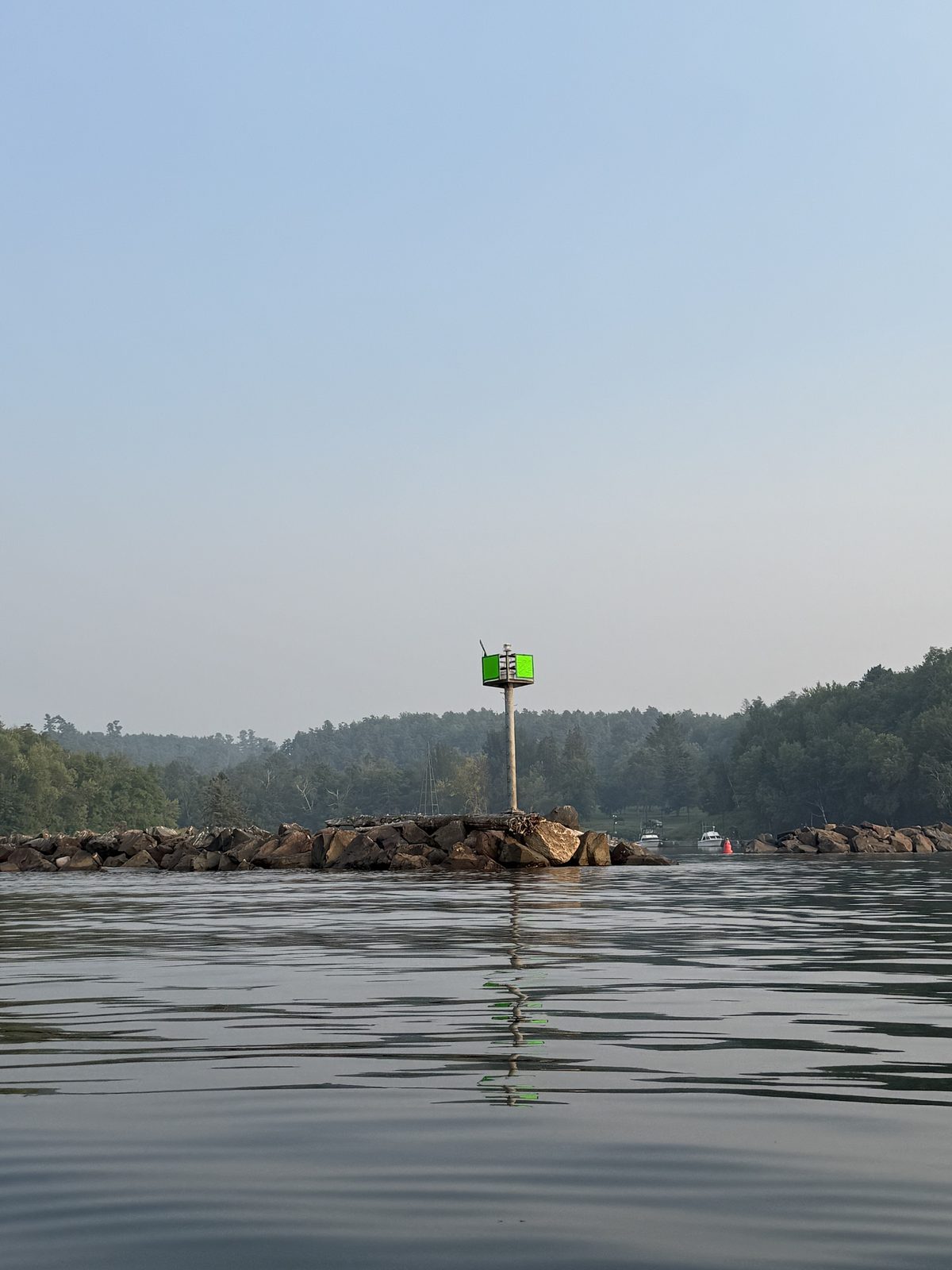
Black River Harbor
Boat launchCampgroundLake Superior
The road ends at the Forest Service’s Black River Harbor Recreation Area: a concrete boat ramp, a harbor for boats drawing up to 7 feet, a 39-site campground open mid-May to mid-October and a day-use fee. The day-use area and falls trailheads stay open all year, with reduced winter plowing. Ottawa National Forest page.
Big Powderhorn photo
North Country Trail
About 6 miles along the river
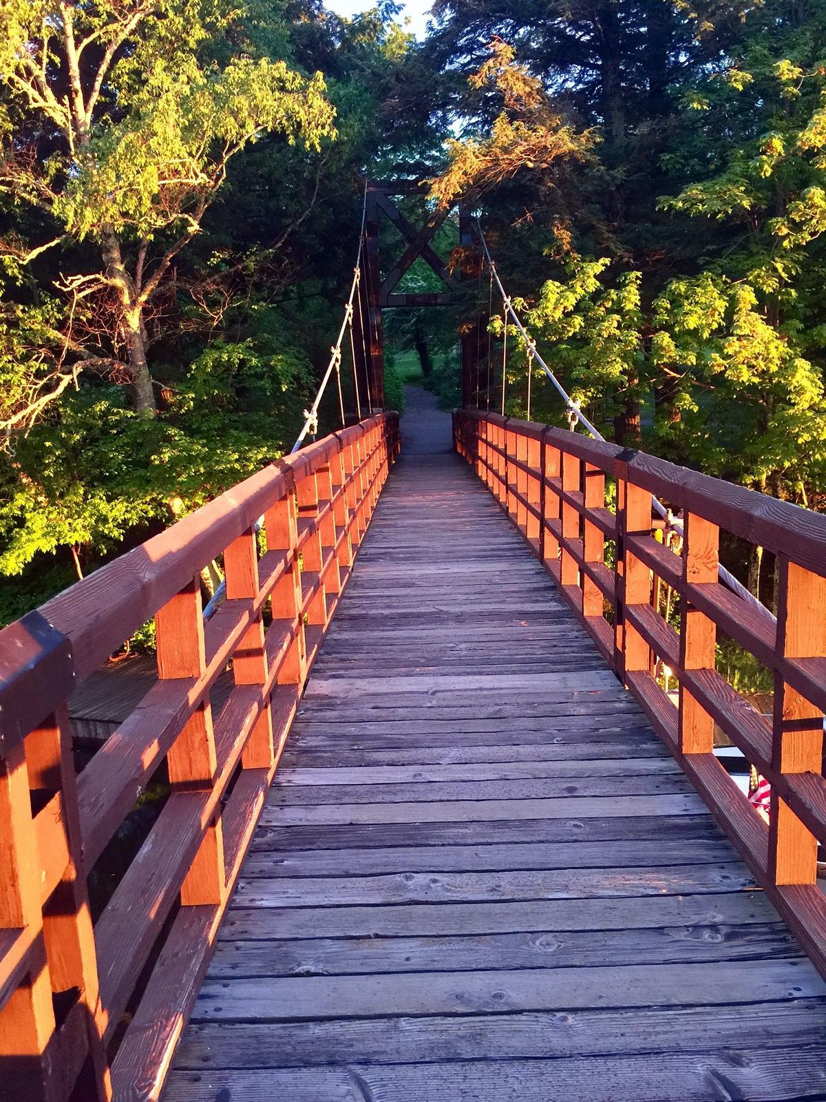
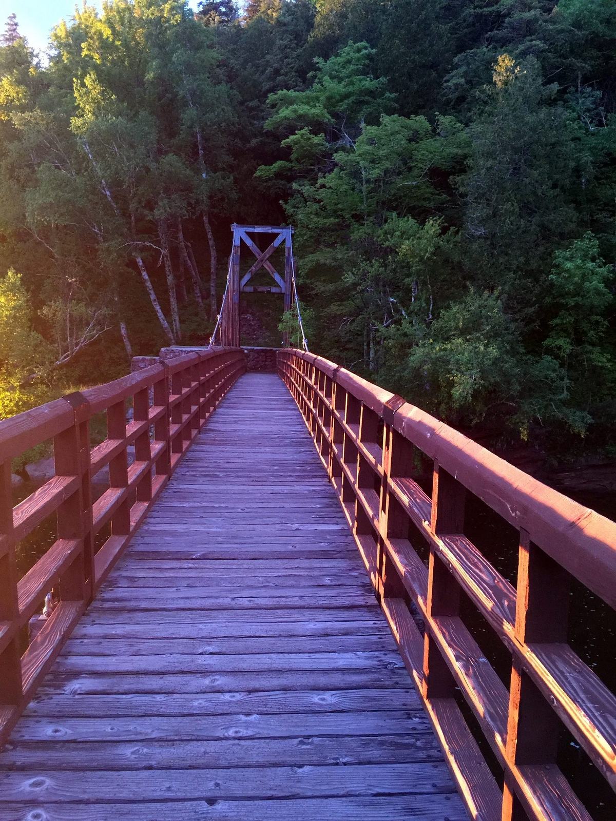
The North Country Trail follows the river for about six miles and crosses the mouth on the harbor’s suspension bridge. It links Sandstone and Rainbow falls (1.4 miles) and Great Conglomerate with Gorge and Potawatomi (about ⅓ mile), a handy way to walk between pools.
Big Powderhorn photo
Wild and Scenic River
14 milesSince 1992
From the Ottawa National Forest boundary to Lake Superior, 14 miles of the Black River are a National Wild and Scenic River, managed by the Ottawa National Forest. Its runs of coho, Chinook and steelhead are among the river’s listed outstanding values.
Stay safe on the water
Spring high water
Snowmelt peaks in April, when the river typically carries about twenty times its late-summer flow, and opening day often falls near that peak. Don’t wade fast, high water.
The gorge
Below Chippewa Falls the river drops about 60 feet a mile through rock gorges, and at Gorge Falls it squeezes through a narrow slot. Rock is slick, banks are steep, and you should never wade above a falls.
Breakwalls and waves
Michigan Sea Grant warns that people are blown or washed off Great Lakes breakwalls every year, and ice makes them treacherous even on calm days. Stay off them when waves are up.
Harbor shoals
Boaters report shoaling and a submerged rock near the harbor entrance. Local knowledge helps; go slow.
Remote country
There are no lifeguards, Lake Superior is cold, and the nearest services are in Bessemer, about 15 miles south. Tell someone your plan.
The angler’s year
When to fish
No hatch chart exists for this river, so treat timing as approximate. Hatches in the western Upper Peninsula generally run later than in the Lower Peninsula.
Spring
Type 1 and 2 water opens the last Saturday in April, usually during or just after the snowmelt peak, so the opener is often high and cold. Steelhead run below Rainbow Falls. Nymphs, streamers, spawn patterns and spinners.
Early summer
Flows drop and clear and the insects come on. Hex mayflies hatch on early-summer evenings over slow water with a soft, silty bottom; on Wisconsin’s Bois Brule, a Lake Superior tributary to the west, they run late June to mid-July.
Midsummer
The main river runs warm. Fish early in the morning and work the cold tributaries and their mouths. The Forest Service calls June to August the best time to fish from the harbor.
Fall
Brook trout season on the main river closes September 30. Flows usually bump up again in October and November as steelhead and coho and Chinook salmon run below Rainbow Falls, under some of the best fall color in the western U.P.
Winter
Type 3 water below Rainbow Falls stays open all year, and so does the harbor under Great Lakes rules. The day-use area stays open with reduced plowing. Lake-effect snow piles up, and icy breakwalls are off limits.
Fish till dusk…
Then head home to the village
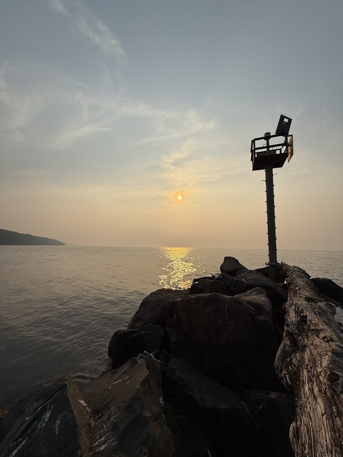
Watch the sun go down off the end of the breakwall, then take the river road back to a warm chalet at the foot of the hill.
Book direct with Big Powderhorn Lodging
Stay in the Big Powderhorn Village
The village is where the byway begins, about 14 miles from Black River Harbor. Big Powderhorn Lodging rents all 24 chalets, condos and vacation homes here, each with a full kitchen for the day’s catch, linens and towels, and Wi-Fi. Book online or call the lodging office at 1-800-501-7669.
It offers three kinds of trout water in one river: brook trout in the upper and middle river and its cold tributaries, and Lake Superior steelhead and salmon below Rainbow Falls. DNR surveys have found brook trout at fairly low numbers in the main river, and the DNR stocks brook trout most years, so come for wild, scenic water rather than big numbers. Flows swing quickly with snowmelt and rain, so check the live conditions before you go.
What species can I catch in the Black River?
Brook trout throughout the river and its tributaries. Steelhead, coho salmon and Chinook salmon run up from Lake Superior as far as Rainbow Falls. Brown trout are present but scarce. From the harbor, the Forest Service lists lake trout, coho, steelhead, walleye, bass and panfish.
When is trout season open on the Black River?
Above Rainbow Falls, including the tributaries, the season runs from the last Saturday in April through September 30. The short stretch from Rainbow Falls to Lake Superior is Type 3 water and is open all year. Check the current Michigan Fishing Regulations before you fish.
Where do steelhead and salmon stop on the Black River?
At Rainbow Falls, about 0.7 mile above the river mouth. It is the first barrier that fish from Lake Superior cannot pass, so the run fish are found in the short reach below it and in the harbor.
Do I need a fishing license?
Yes. You need a Michigan fishing license, and one license covers all species, although some species and methods have extra reporting requirements. Licenses are sold online by the Michigan DNR.
Where is the Black River flow gauge?
The live flow on this page comes from USGS gauge 04031000, Black River near Bessemer. It sits on the middle river near the Hedberg Road crossing, upstream of the byway waterfalls, and measures flow from about 200 square miles of the watershed. It reports flow and gage height but not water temperature.
Where can I stay near the Black River?
In the Big Powderhorn Village, where the Black River Scenic Byway begins. Big Powderhorn Lodging rents 24 chalets, condos and vacation homes there, about 14 miles from Black River Harbor. Book online or call the lodging office at 1-800-501-7669.